Everest Base Camp Helicopter Overfly Tour
Shared seatfrom $1300/person

Overview
Experience the ultimate aerial adventure on our Everest Helicopter Overfly Tour, designed for maximum sightseeing and comfort from the skies. This continuous 2-hour scenic flight flies over the majestic Himalayas, offering unparalleled views of Mount Everest, Lhotse, and the Khumbu Glacier while adhering strictly to CAAN safety regulations.
The Everest Helicopter Overfly Tour is one of the fastest, safest, and most rewarding ways to experience the Everest region without spending days trekking through the Himalayas. In approximately two hours, you'll fly from Kathmandu into the heart of the Khumbu Valley, following one of Nepal's most iconic mountain flight corridors. Along the way, enjoy uninterrupted aerial views of Lukla, the Khumbu Glacier, Everest Base Camp, Kala Patthar, and the magnificent Himalayan peaks of Mount Everest, Lhotse, Nuptse, and Ama Dablam. Every stage of the flight is designed to maximize sightseeing while offering a comfortable and unforgettable aerial journey above some of the world's most spectacular mountain landscapes.
Unlike traditional Everest trekking itineraries that require days of gradual altitude adaptation, this scenic helicopter overfly is ideal for travelers with limited time, families, photographers, luxury travelers, and anyone who wants to witness Mount Everest from the sky without the physical demands of a high-altitude expedition. The carefully planned route combines breathtaking Himalayan scenery with the convenience of a day trip, allowing you to experience glaciers, alpine valleys, Sherpa settlements, and legendary climbing landmarks from a perspective that very few visitors ever see.
High-Altitude Aircraft Designed for the Everest Region
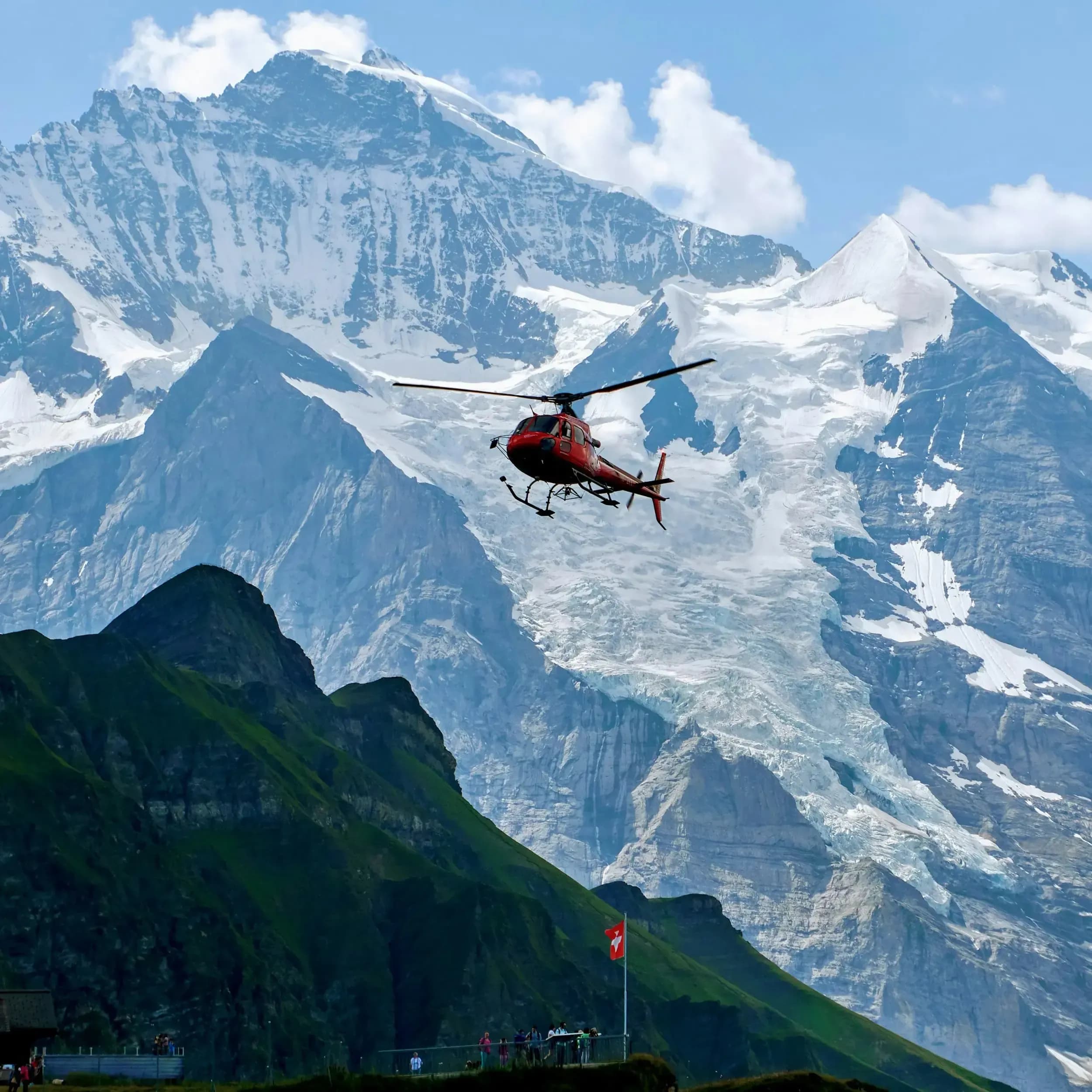
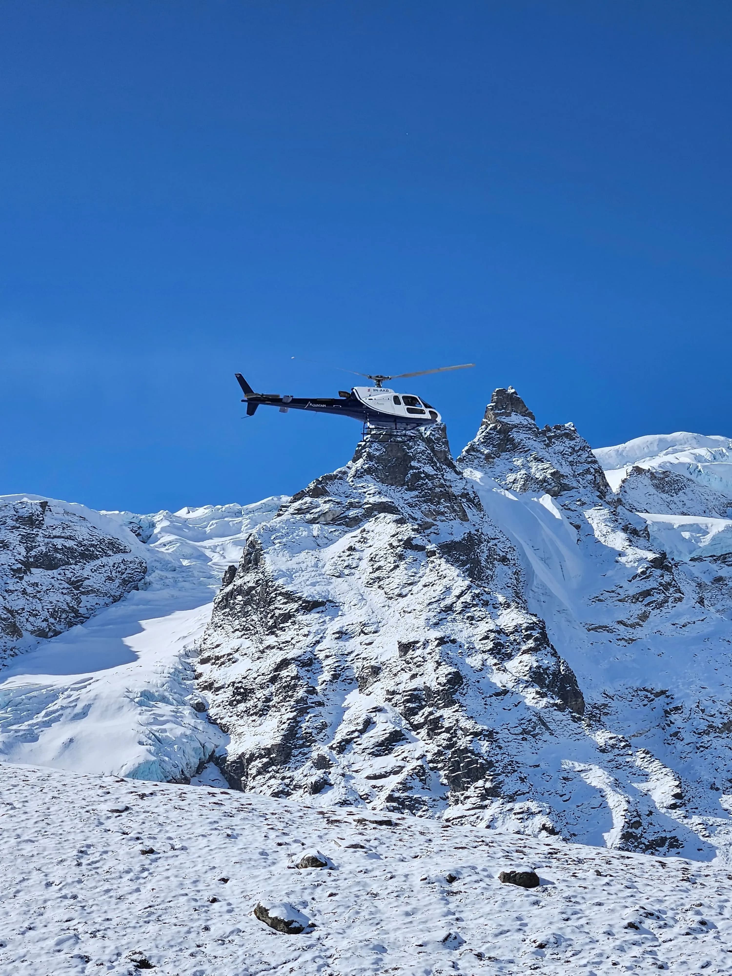
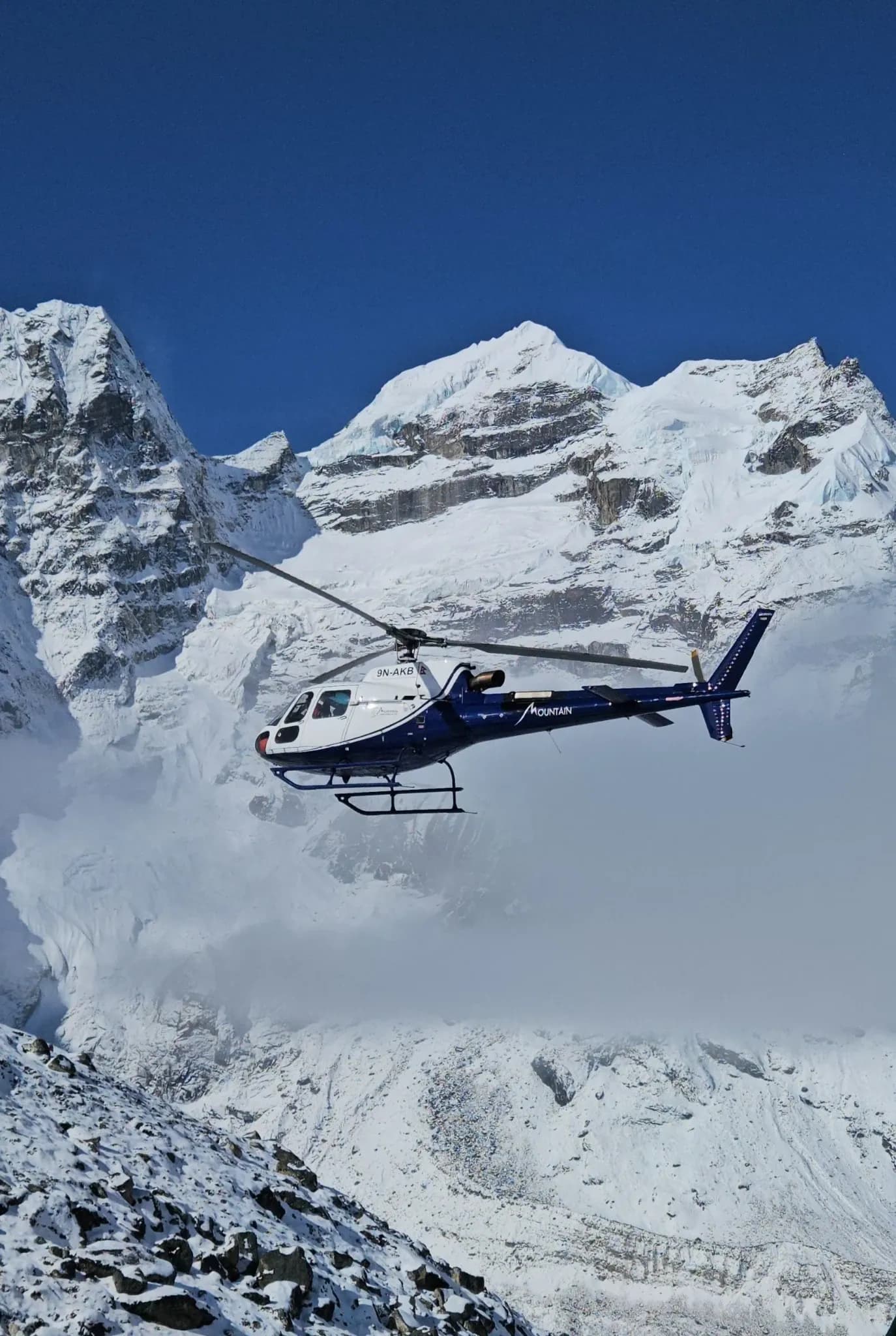
Your flight is operated using the Airbus H125 (formerly AS350 B3e), one of the world's most trusted helicopters for high-altitude commercial aviation. Powered by the Safran Arriel 2D engine with Full Authority Digital Engine Control (FADEC), the H125 is widely recognized for its outstanding performance in thin mountain air and challenging alpine environments. It also holds the world record for the highest helicopter landing on Mount Everest, demonstrating the aircraft platform's exceptional capability in extreme high-altitude conditions. Learn more about our Helicopter Charter Services and the aircraft we operate throughout Nepal.
Safety, Weather Planning & Operational Excellence
Every Everest Helicopter Overfly Tour operates in accordance with the Civil Aviation Authority of Nepal (CAAN) Flight Operations Requirements. Before departure, passenger weight verification, aircraft weight-and-balance calculations, and comprehensive flight planning are completed to ensure safe operations throughout the Everest region. As the helicopter climbs into higher elevations where air density naturally decreases, our experienced mountain pilots continuously manage aircraft performance and payload in accordance with established high-altitude operating procedures to maintain optimal safety margins.
Weather is equally critical to every Himalayan flight. Our dispatch team continuously reviews aviation forecasts, satellite imagery, and real-time observations from the high-altitude Automatic Weather Station (AWS) network across the Khumbu region. This monitoring network, documented by the Bulletin of the American Meteorological Society (BAMS), provides valuable data on wind patterns, cloud development, and atmospheric conditions around Mount Everest. Regional climate observations published by ICIMOD further support our understanding of Himalayan weather, helping us schedule flights during the safest and clearest operating windows whenever conditions allow.
Discover the Everest Region from Above
More than simply reaching Mount Everest, this helicopter journey showcases the extraordinary geography that makes the Khumbu region one of the world's most remarkable mountain landscapes. Watch the Khumbu Glacier flow beneath the aircraft, trace the famous Khumbu Icefall used by Everest expeditions, admire the dramatic walls of Lhotse and Nuptse, and enjoy panoramic views across deep valleys, glacial rivers, alpine ridgelines, and remote Sherpa villages. Whether you're visiting Nepal for the first time or returning to experience the Himalayas from a completely new perspective, this Everest scenic flight delivers an unforgettable combination of comfort, safety, and world-class mountain sightseeing.
If you're looking for a landing experience instead of a continuous aerial tour, explore our Everest Base Camp Helicopter Tour. For tailor-made itineraries across the Himalayas, get in touch with us for our Private Helicopter Charter services, or browse our complete collection of Everest Region Helicopter Tours to discover more ways to experience Nepal from the sky.
Highlights
Uninterrupted Aerial Views of Mount Everest & the Khumbu Region
Experience one of Nepal's most spectacular scenic flights as you soar above Lukla, the Khumbu Glacier, Everest Base Camp, Kala Patthar, and the towering Himalayan peaks of Mount Everest, Lhotse, Nuptse, and Ama Dablam. The carefully planned flight route is designed to maximize sightseeing throughout the journey while following established mountain flight corridors.
Fly in the Airbus H125, Trusted for Himalayan High-Altitude Operations
Your flight is operated using the Airbus H125 (AS350 B3e), internationally recognized for its outstanding high-altitude performance. Powered by the Safran Arriel 2D engine with Full Authority Digital Engine Control (FADEC), the aircraft is widely used for commercial sightseeing, rescue, and mountain operations throughout the Himalayas. Learn more in the official Airbus H125 specifications.
Experience Everest Without Days of Trekking
Witness the beauty of the Everest region in approximately two hours without the physical demands of a multi-day trek. This helicopter overfly is ideal for travelers with limited time, families, photographers, senior travelers, and anyone seeking an unforgettable Himalayan experience in complete comfort.
Safety-First Operations That Meet CAAN Flight Requirements
Every Everest Helicopter Overfly Tour is conducted in accordance with the Civil Aviation Authority of Nepal (CAAN) Flight Operations Requirements for Helicopters. Before every departure, passenger weight verification, aircraft weight-and-balance calculations, route planning, and weather assessments are completed to help ensure safe operations throughout the Everest region.
Weather Planning Supported by Real-Time Himalayan Forecasts
Flight departures are coordinated using aviation weather forecasts, satellite imagery, and observations from high-altitude Automatic Weather Stations (AWS) across the Khumbu region. This helps identify the safest and clearest operating windows while minimizing delays caused by mountain weather whenever conditions permit.
Flight Planning Supported by Real-Time Himalayan Weather Data
Our flight dispatch team monitors aviation forecasts, satellite imagery, and observations from the high-altitude Automatic Weather Station (AWS) network across the Khumbu region. This network, documented by the Bulletin of the American Meteorological Society (BAMS), helps pilots identify safer operating windows while navigating Nepal's rapidly changing mountain weather.
Read moreRead less
Trip Type
Shared and Charter
Group Size
5
Difficulty Level
Easy
Max Altitude
6500
Best Season
Spring and Autumn
Departure
Tribhuwan International Airport
Itinerary
Your Everest Helicopter Overfly Tour begins at Tribhuvan International Airport (TIA) in Kathmandu, where you'll board the helicopter before flying east towards Nepal's spectacular Himalayan region. As the city gradually disappears beneath you, the landscape transforms into rolling green hills, winding river valleys, terraced farmland, and eventually the rugged mountain terrain of Solukhumbu. On clear days, the first snow-covered Himalayan peaks begin to appear long before reaching Lukla, offering an exciting preview of the adventure ahead.
Lukla Airport, officially known as Tenzing-Hillary Airport, serves as the primary aerial gateway to the Everest region. The helicopter makes a brief technical stop of approximately 10-15 minutes for refueling and routine operational checks before continuing into higher elevations. This scheduled stop also allows the flight crew to reconfirm weather conditions and aircraft performance prior to entering the more demanding mountain environment.
Before departure, passenger weight verification and aircraft weight-and-balance calculations are completed in accordance with the Civil Aviation Authority of Nepal (CAAN) Flight Operations Requirements for Helicopters. These procedures help ensure the aircraft operates safely and efficiently throughout every stage of the journey.
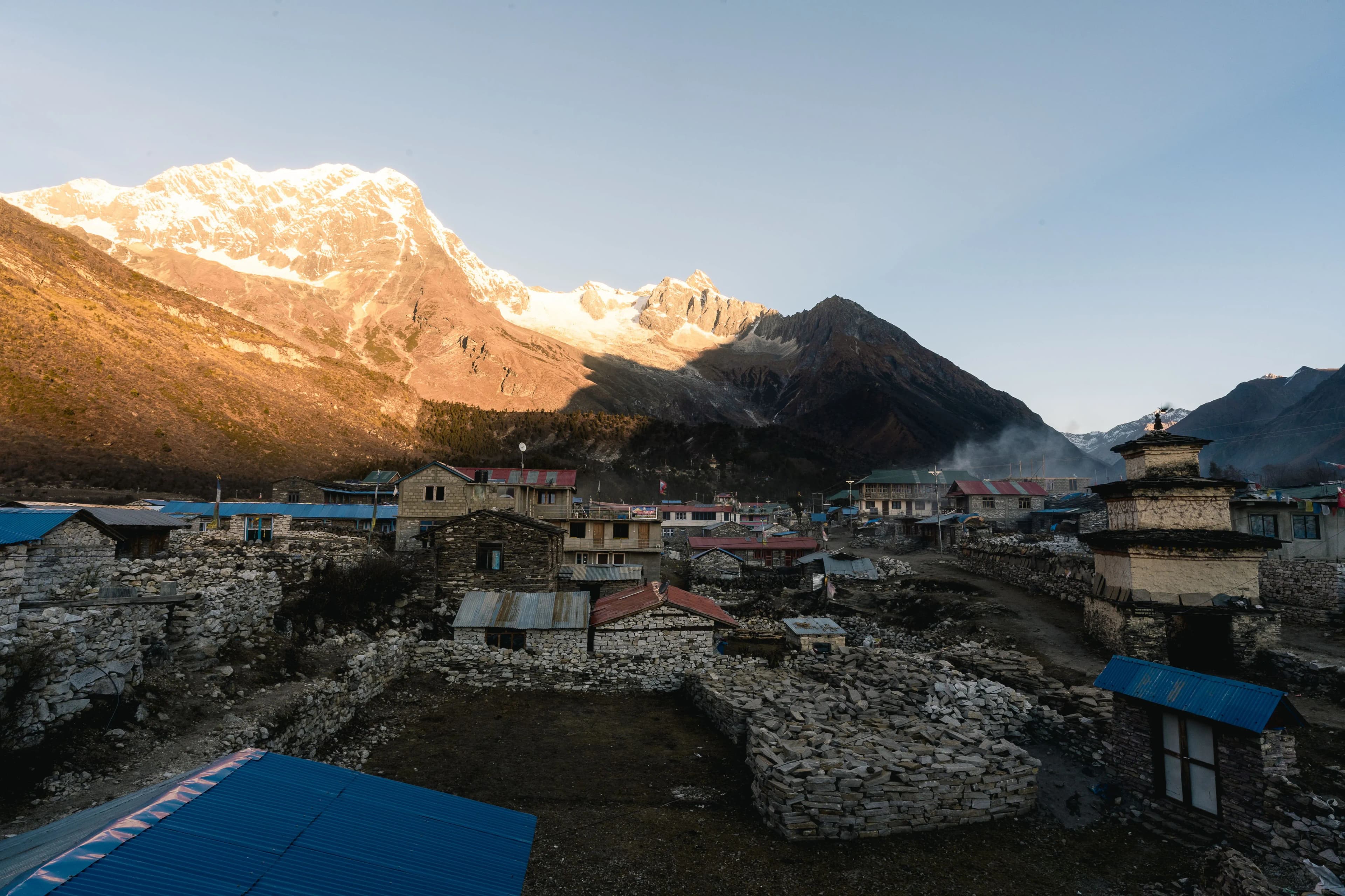
After departing Lukla, the helicopter follows the famous Dudh Koshi Valley deeper into the Khumbu region. Along the way you'll fly above Namche Bazaar, the historic Sherpa trading town, before passing Tengboche Monastery, one of the most important Buddhist monasteries in the Everest region. As the landscape becomes increasingly alpine, forests gradually give way to glaciers, rocky ridges, and towering Himalayan peaks.
As the helicopter climbs above 4,000 meters, the surrounding scenery becomes even more dramatic. Passengers begin to appreciate the immense scale of the Khumbu Valley while enjoying increasingly clear views of Ama Dablam, Lhotse, Nuptse, and the surrounding mountain ranges that define the Everest region.
Higher elevations also bring thinner air, which naturally reduces helicopter lifting performance. To maintain safe operating margins, flights may utilize a designated staging area at Pheriche where passenger shuttle rotations are completed when required. These procedures follow established mountain flying practices and help preserve adequate engine performance during operations near Everest Base Camp and Kala Patthar.
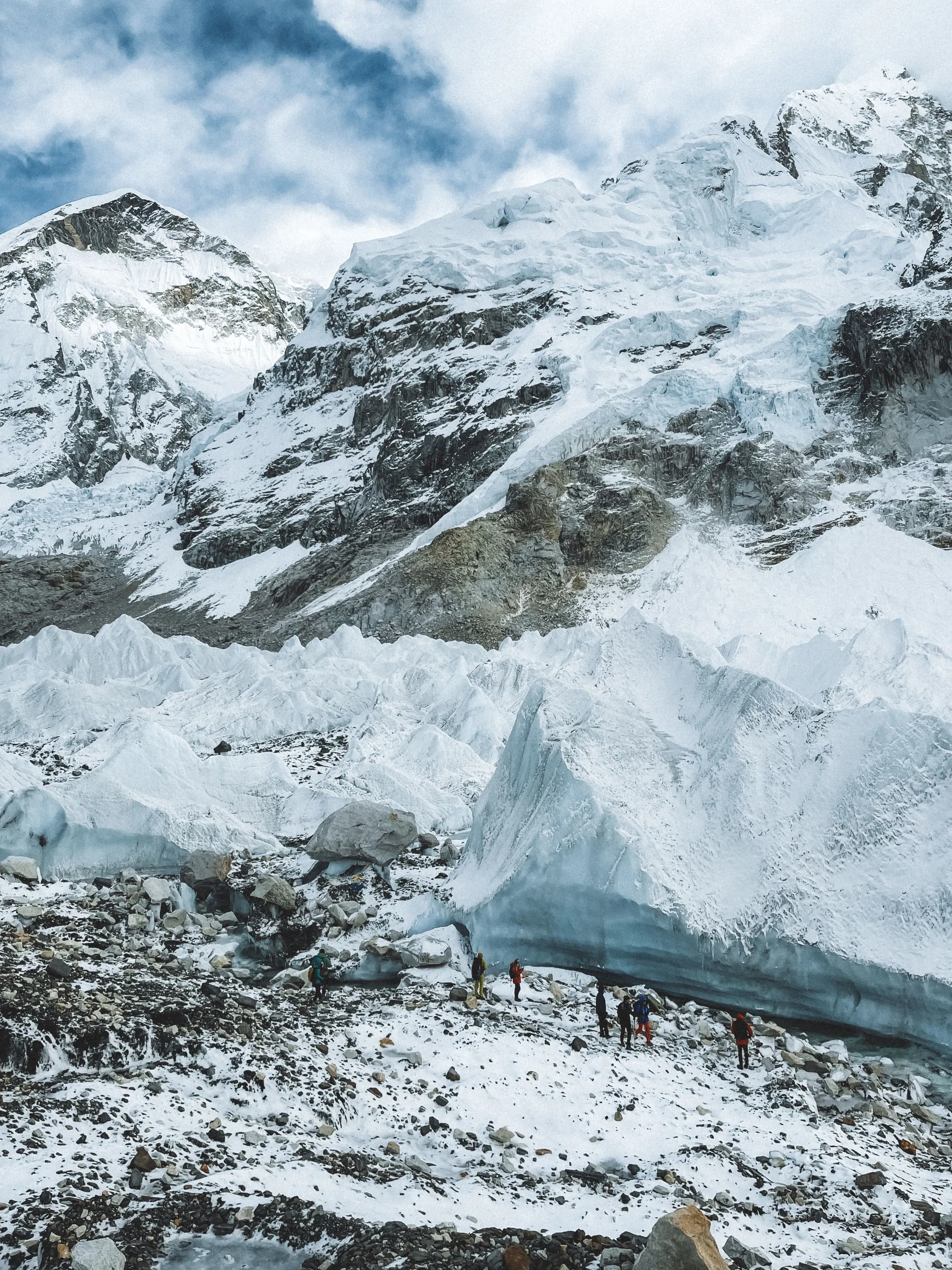
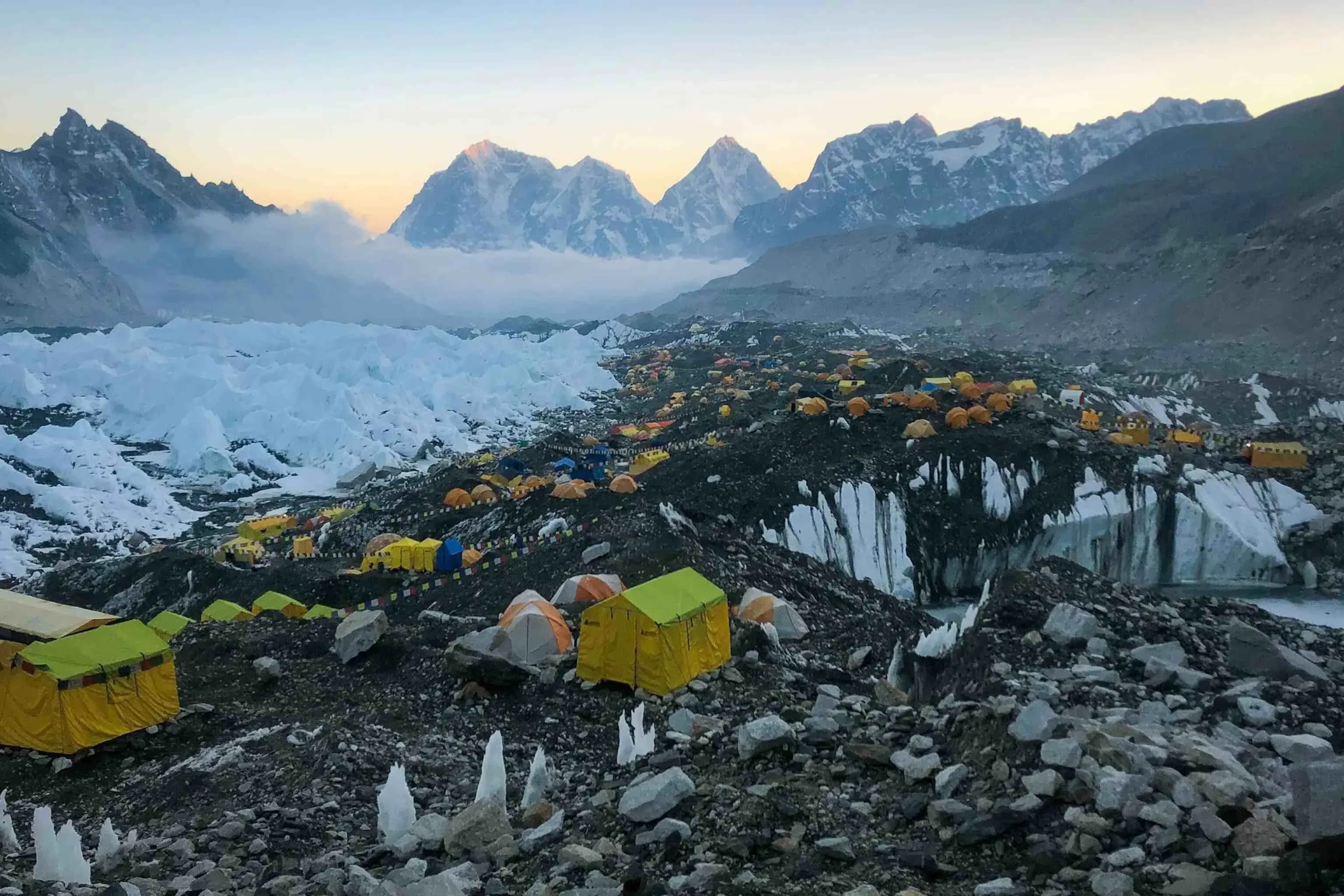
This is the defining moment of the Everest Helicopter Overfly Tour. From Pheriche, the helicopter continues towards the heart of the Everest region, revealing uninterrupted aerial views of the Khumbu Glacier, the dramatic Khumbu Icefall, Everest Base Camp, the Western Cwm, Kala Patthar, and the towering summit pyramid of Mount Everest. The flight also showcases the immense faces of Lhotse and Nuptse, creating one of the most spectacular mountain panoramas anywhere in the world.
Unlike helicopter tours that focus on extended landings, this experience is designed as a continuous scenic overfly, allowing passengers to enjoy uninterrupted sightseeing while minimizing time spent on the ground at extreme elevations. Maintaining continuous forward flight also provides exceptional photographic opportunities as the helicopter circles some of the world's most iconic mountain landscapes.
Mountain weather and wind conditions are continuously monitored throughout the flight. Dispatch teams review aviation forecasts together with observations from the high-altitude Automatic Weather Station (AWS) network across the Khumbu region, originally documented by the Bulletin of the American Meteorological Society (BAMS). These observations, combined with regional climate monitoring by ICIMOD and pilot expertise, help identify suitable operating windows while navigating the rapidly changing weather conditions of the Himalayas.
After completing the Everest overfly experience, the helicopter returns through the spectacular Khumbu Valley before descending towards Lukla. Passenger groups are reunited where necessary, and the aircraft completes a final refueling stop and routine operational inspection before beginning the return flight to Kathmandu.
The journey back offers a different perspective of the Himalayas as snow-covered peaks gradually give way to forested valleys, traditional mountain villages, rivers, and the rolling hills surrounding Nepal's capital. It's the perfect opportunity to reflect on an unforgettable aerial adventure while capturing a few final photographs before landing.
The helicopter arrives back at Tribhuvan International Airport (TIA), completing one of Nepal's most extraordinary day tours. Whether you've chosen the experience for photography, sightseeing, or simply the dream of seeing Mount Everest from above, the Everest Helicopter Overfly Tour offers an unforgettable perspective of the Himalayas while maintaining the highest operational standards throughout the journey.
Best time to travel
Good
Best
Practical Details
The EBC Helicopter Overfly Tour offers spectacular Himalayan views without the physical demands of trekking. Although the high-altitude exposure is brief, understanding the conditions can help you prepare for a comfortable and safe journey.
High-Altitude Flying
The helicopter may operate at altitudes of up to 6,500 m (21,325 ft) along designated VFR corridors. Emergency oxygen is available onboard, and passengers with heart, lung, or respiratory conditions should seek medical advice before flying.
Weather & Flight Conditions
Mountain weather can change rapidly. Visibility, cloud, wind, and conditions along the flight route are assessed before departure. Flights may be delayed or rescheduled if conditions do not meet operational or VFR requirements.
Plan With Flexibility
Allow 24–48 hours of flexibility if you have international flights or other time-sensitive plans. Weather-related changes are possible even during the best flying seasons.
Safety & Operations
Flights are conducted by experienced mountain pilots using aircraft prepared for high-altitude operations. Passenger weights, fuel requirements, aircraft performance, weather, and route conditions are assessed as part of flight planning, with safety as the primary priority.